The Historic Cajun Prairie
The Cajun Prairie once covered over 2.6 million acres of Southwest Louisiana.
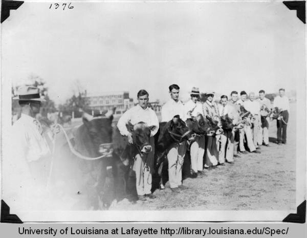
The historic extent of the Cajun Prairie is signified by the orange color and the historic transition area is signified by the yellow color. The transition area was mixed with hardwood forests that grew on the rich loess soils of the coteau. During dry centuries the prairie would expand into the wooded areas as drought and fire killed the trees and shrubs. In wet centuries the trees would grow into the prairie as the forests expanded due to more moisture and less fire. The image above shows students at SLI(ULL) showing their prized dairy cows in the Little National Dairy Show on campus. The Acadians raised cattle on the prairie, similar to their ancestors who farmed hay in coastal Nova Scotia and before in Bretagne.

Historic Extent of the Cajun Prairie. Cajun Prairie shown in orange and yellow. Map drawn by Steve Nevitt. Map data sources: NRCS, USGS

Image credit: Brad Weimar
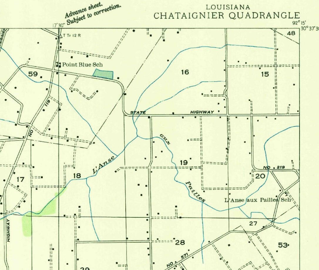
L’Anse aux Pailles. The cajun french term l’anse directly translates to cove or bay but became used in Acadiana to describe coves created by coulee, bayou and stream gallery forests within the vast sea of grasslands known as the Cajun Prairie. The forests surrounding these coves provided a windbreak and shade from the relentless winds and sun of the wide open treeless prairie.

SLI Little NAtional Dairy Show 1932. At modern day ULL campus.

This topographic map of Lafayette produced in 1946 shows the complete lack of trees(green) except for along the Vermilion River and major coulees. Comparing to a modern topo, Lafayette is now covered with trees. An abundance of potholes are also obvious on this topo map, almost every square mile has a few. The Cajuns called these platins or marais, and early Americans called them buffalo wallows after seeing bison taking dust baths in them when they dried out in the summer. These potholes are very common in the regions of the prairie with alfisols, generally being more common to the east and southern region of the Cajun Prairie. These potholes were slowly filled in to expand the city, and in the country made larger into squares to accommodate rice and crawfish farming.
SLI prize dairy cow with student.

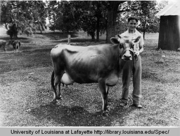
Man with calf at the SLI Dairy Farm in Cade.

Herd at the SLI Dairy Farm in Cade.

SLI Dairy Farm

This image of L’Anse Bleu from google earth clearly shows a cove feature surrounded by the gallery forests of nearby bayous. Now agriculture has replaced the prairie, but the cove still remains.